A Modelling Tool For River Basin Planning in Turkey
Project Name: A Modelling Tool For River Basin Planning in Turkey
Date: June 2015 - April 2016
Place: Throughout Turkey
Role Of DKM: Project Partner
Project Partners: Deltares, Witteveen+Bos
Project Supporters: Netherlands Enterprise Agency, Partners for Water Programme
Communication: M. Hüseyin Çataloluk
Summary Of Project:
One of the most important tools for effective water management in Turkey is River Basin Management Plans. These Plans are being prepared by the General Directorate of Water Management for 25 river basins in Turkey in accordance with the EU Water Framework Directive in order to ensure the conservation and development of water resources. Various water quality models are being used and different water qualities that will be attained under various precautionary scenarios are being analysed through models and discussed with stakeholders in order to identify the necessary measures to be taken in the context of these river basin plans for raising our basins’ surface and ground water resources to desired quality levels.
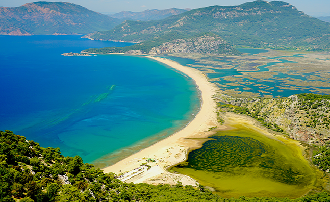
In the context of this project, the WFD Explorer model which has been developed by the Deltares Research Institute operating in Netherlands with its 800 employees and which is an effective decision support tool incorporating hydrological, ecological and water quality models have been tested in the Greater Menderes Basin with the participation of relevant institutions and stakeholders and has been brought into the use of the General Directorate of Water Management and Basin Management Delegations for its implementation in Turkey’s other basins following some adjustments.
The WFD Explorer Tool analysed within the context of the project provides great convenience in terms of identifying the good chemical and ecological quality potential of water bodies within basins according the European Union Water Framework Directive, identifying cost effective conservation measures, pricing and prioritisation, establishing effective communication with stakeholders, improving and standardising the quality of data being used and reporting to the European Commission.
Support has been provided for the development of the WFD Explorer model and its adaptation to Turkey through the use of local GIS based modelling, water quality modelling and participatory integrated basin management expertise within the Nature Conservation Centre. Developing the model, provision and filtration of data taking into consideration climate change and socio-economic conditions that were used in building management scenarios to be tested, organisation of training and stakeholder meetings realised within the context of the project, their effective management and dissemination are among other contributions provided by the Nature Conservation Centre.